Airtime70
PR Member
I was just wondering if anyone else has used this app. I use it with a droid and a qstarz 818XT bluetooth GPS to log laps when I ride. The program will show you line choices, acceleration/deceleration, and split times. My original plan was to start compiling a public google map with all the layouts but I have not gotten it finished quite yet.
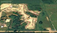
Here are a couple examples of what you can capture using Google earth with the GPS data.
This is Freelin MX in Brown City Michigan.

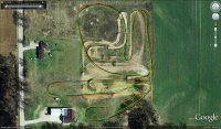
Here is an example of three laps showing the different line choices.

Here are a couple examples of what you can capture using Google earth with the GPS data.
This is Freelin MX in Brown City Michigan.

Here is an example of three laps showing the different line choices.

